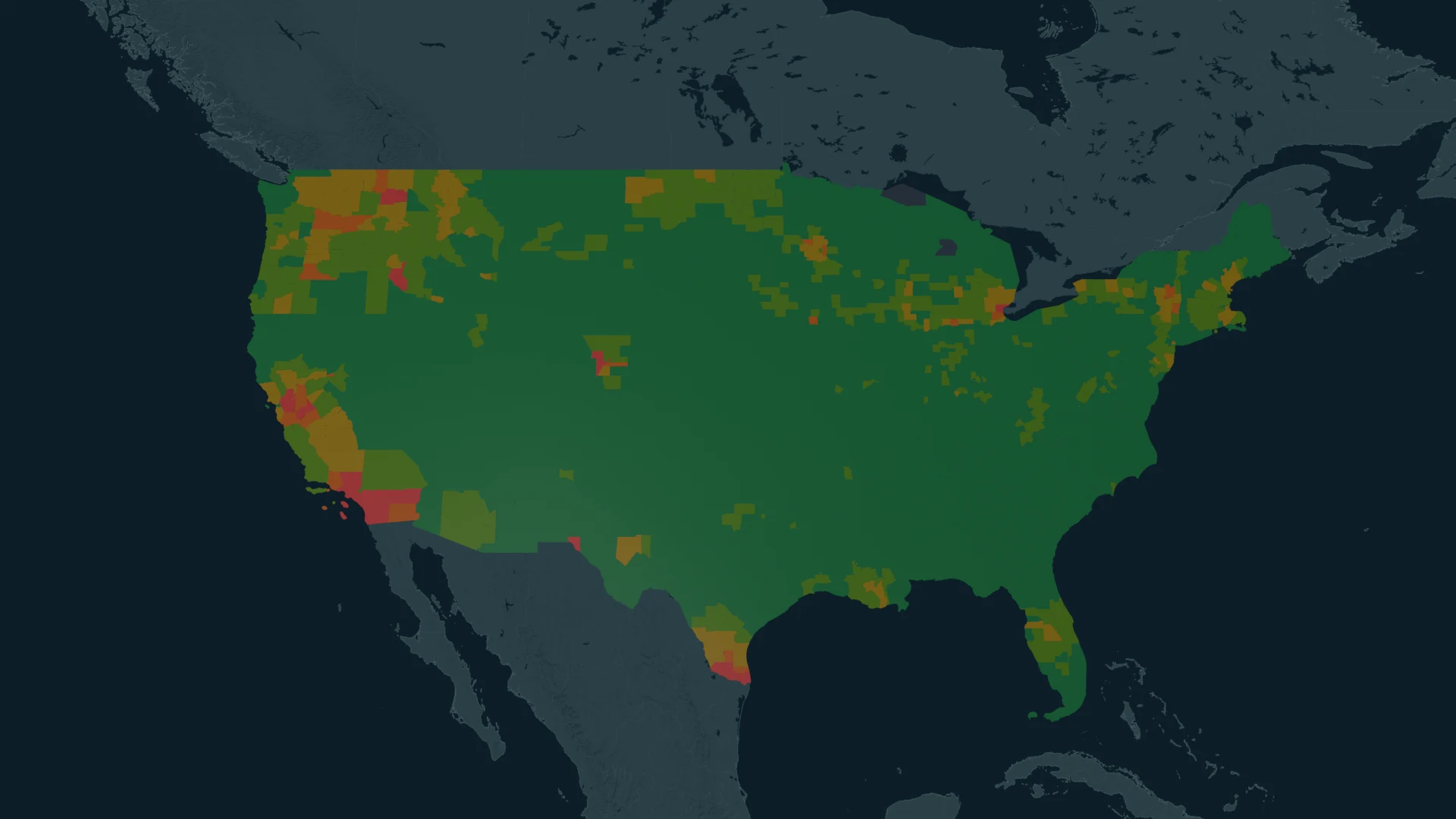
Narrow the search.
Filter by state, composite risk tier, ignition probability, burn area or cost per acre. County rankings help you locate areas that deserve a closer look.
 Talk to our team
Map wildfire risk alongside transmission lines, active fires, and Red Flag Warnings. Compare potential losses to prioritize mitigation.
From regional context to local exposure
Filter by state, composite risk tier, ignition probability, burn area or cost per acre. County rankings help you locate areas that deserve a closer look.
Explore local risk areas with transmission lines, active-fire detections and Red Flag Warning polygons. Focus on areas with transmission exposure or current warnings.
Probability-adjusted financial risk, risk-distribution charts and exposed-owner summaries put the map in context for risk review and mitigation prioritization.